Date: 06.07.2020
Task 1
Title: Learn Rhino and grasshopper as BIM tool for modelling in Revit.
Software used: Rhino7, Grasshopper,GhPython, Revit.
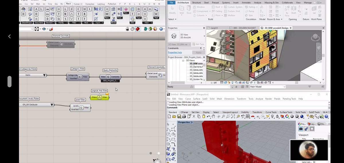
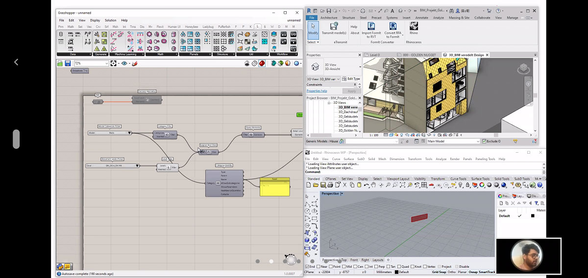
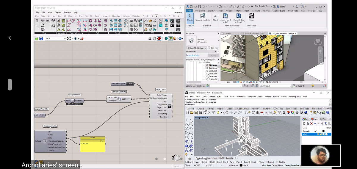
Tools Used: Wall, Element Geometry, Model Categories Picker, Category Filter, Query Elements, Logical and filter, Document Levels Picker, Category Identity, Boolean Toggle, Panel, Object Bake.
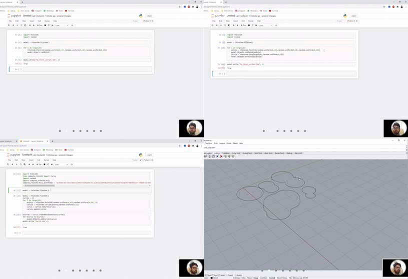
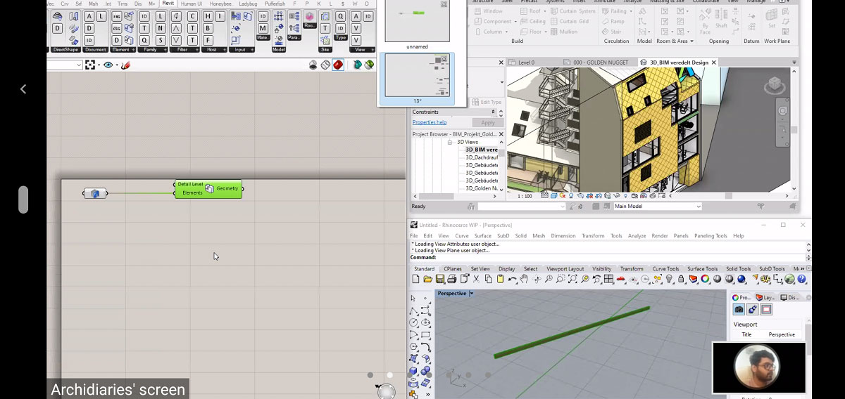
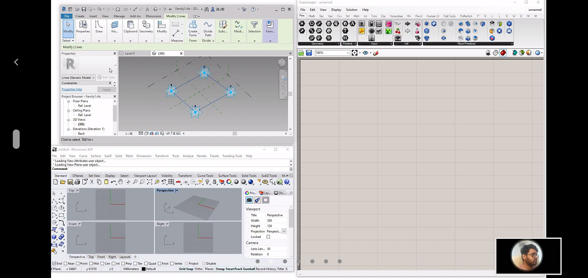
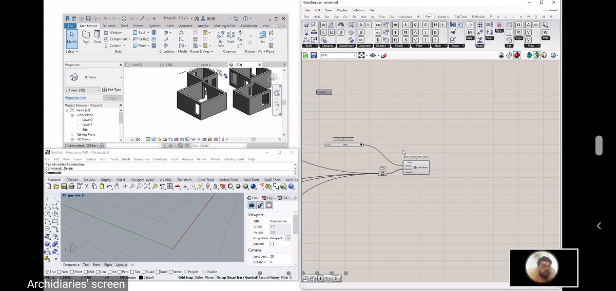
The session was to learn basic modelling in Revit using Rhino and grasshopper as BIM tools. The session covered 5 small exercises to explore different components of Revit in grasshopper. In the first exercise a sample building was selected. Its building elements were assigned from Revit to grasshopper and then baked in Rhino.
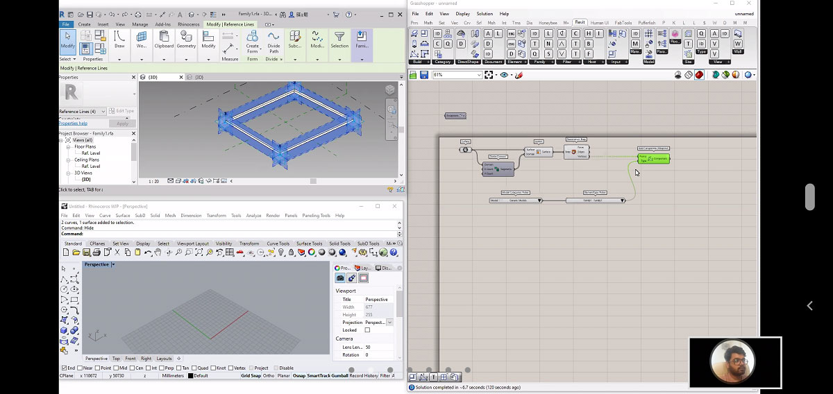
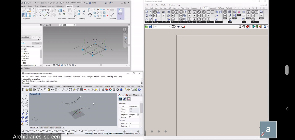
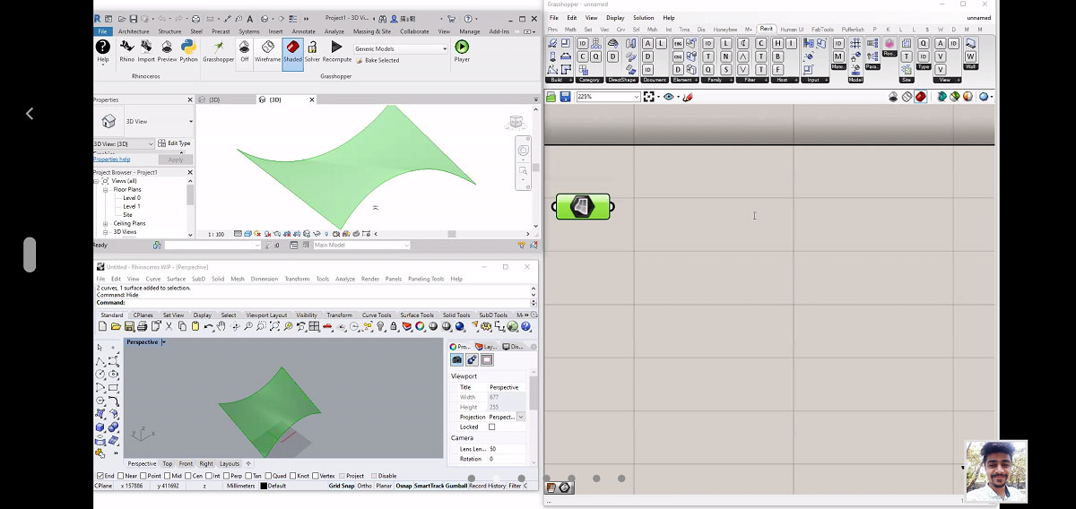
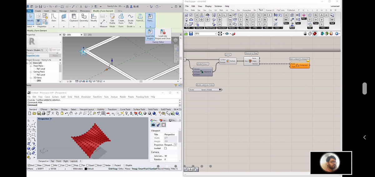
Task 2
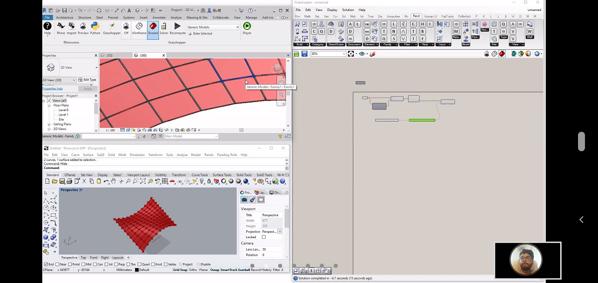
Title: Generic modelling in Revit using Rhino and grasshopper.
Software used: Rhino7, Grasshopper, Revit.
Tools Used: Surface, Divide Domain2, Isotrim, Deconstruct Brep, Element Type Picker, Add Component Adaptive
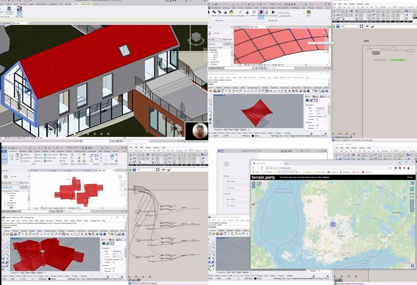
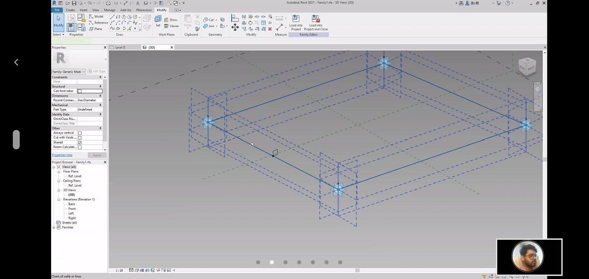
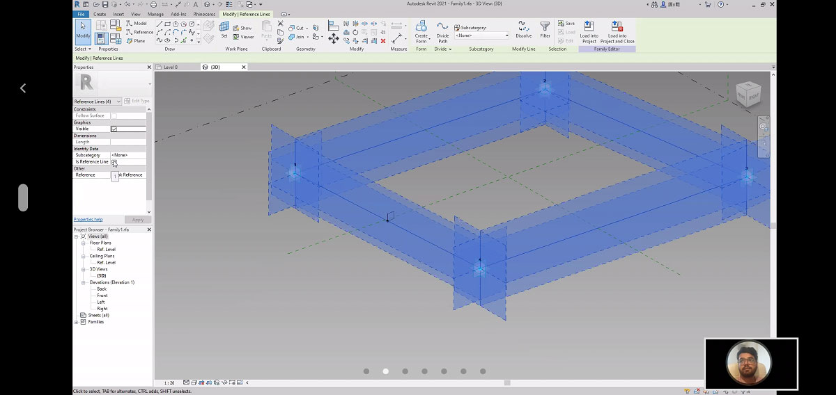
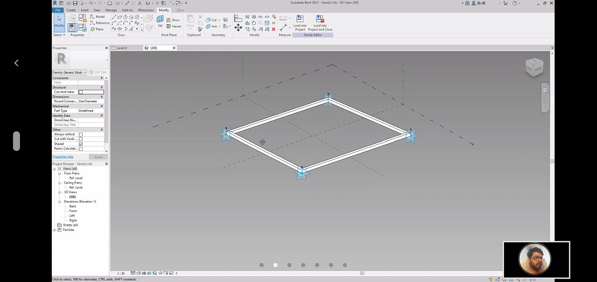
The exercise was to do generic modelling in Revit and Rhino. A rectangular frame geometry with planes at each vertex was generated in Revit. Next, a doubly curved surface in grasshopper was generated from two curves created in Rhino. Then, the surface was subdivided into small grid panels. Further, the frame generated in Revit was morphed on each grid of the surface.

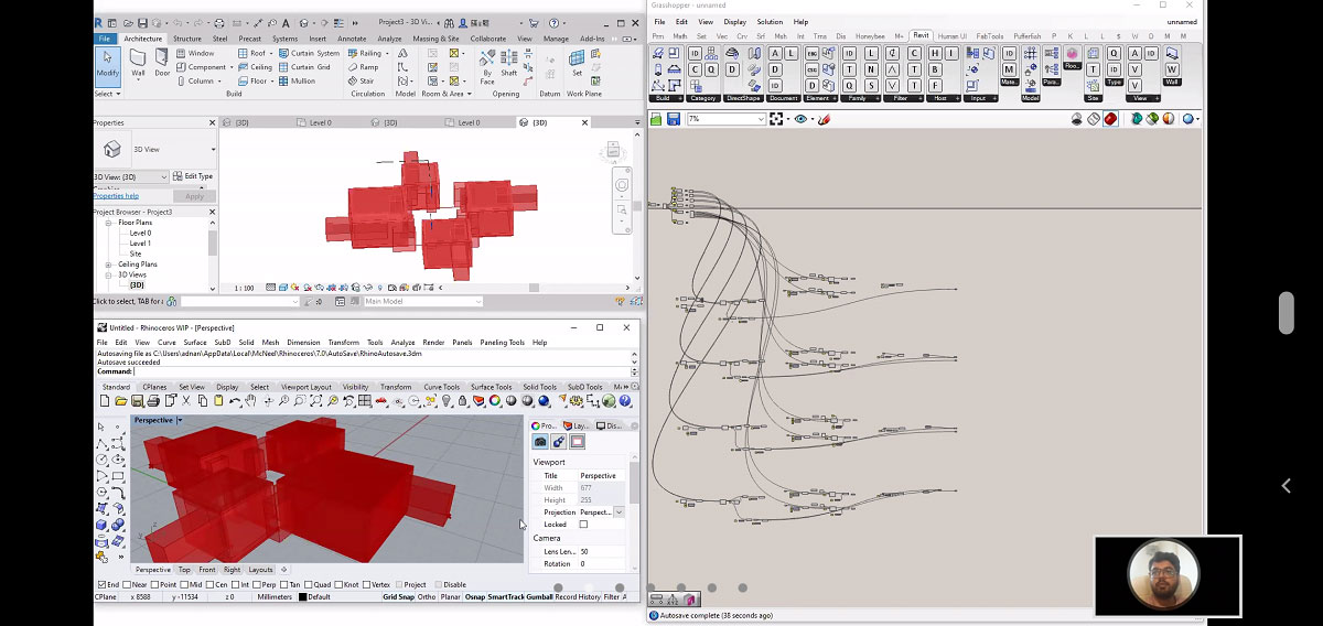
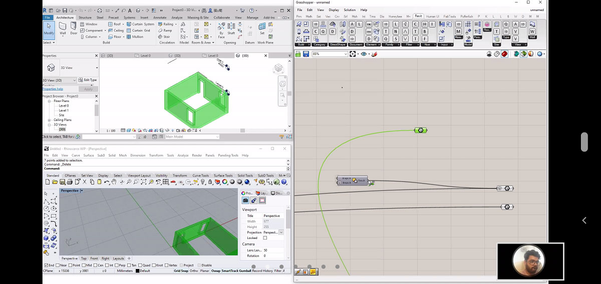
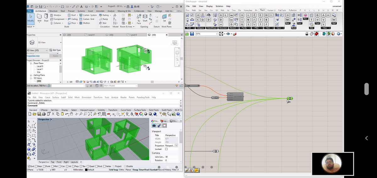
Task 3
Title: Architectural Modelling in Revit using Rhino and grasshopper.
Software used: Rhino7, Grasshopper, Revit.
Tools Used: Brep, Add Geometry Direct Shape.
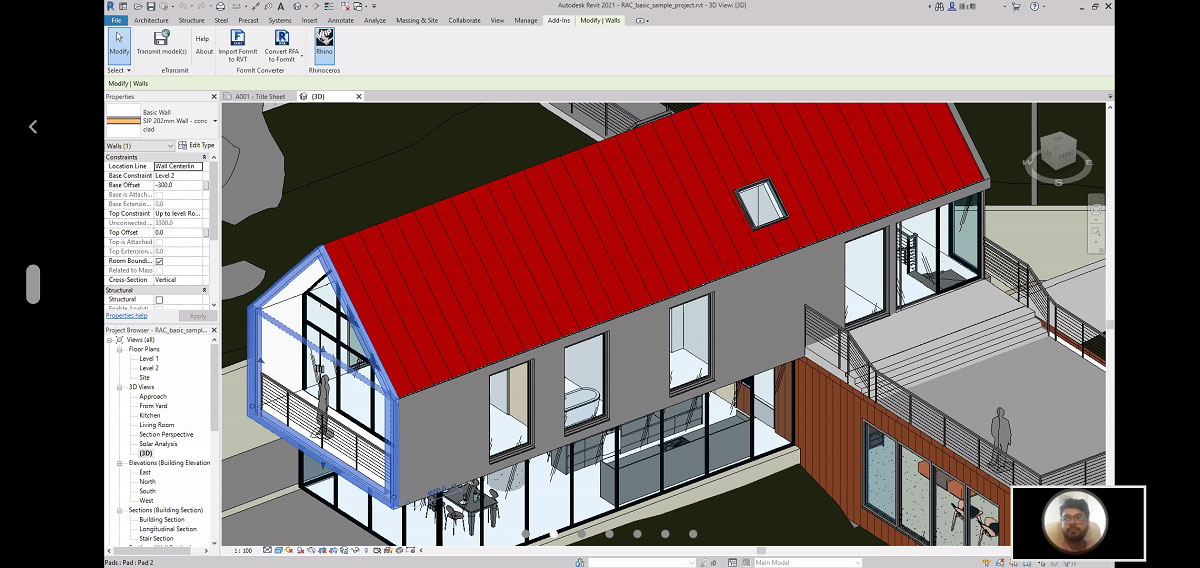
The exercise was to learn to import architectural models generated in grasshopper to Revit. For this, a project from the previous session was selected. The four rooms generated in grasshopper were categorized based on their shapes to the direct Revit document using components of Revit.
Task 4
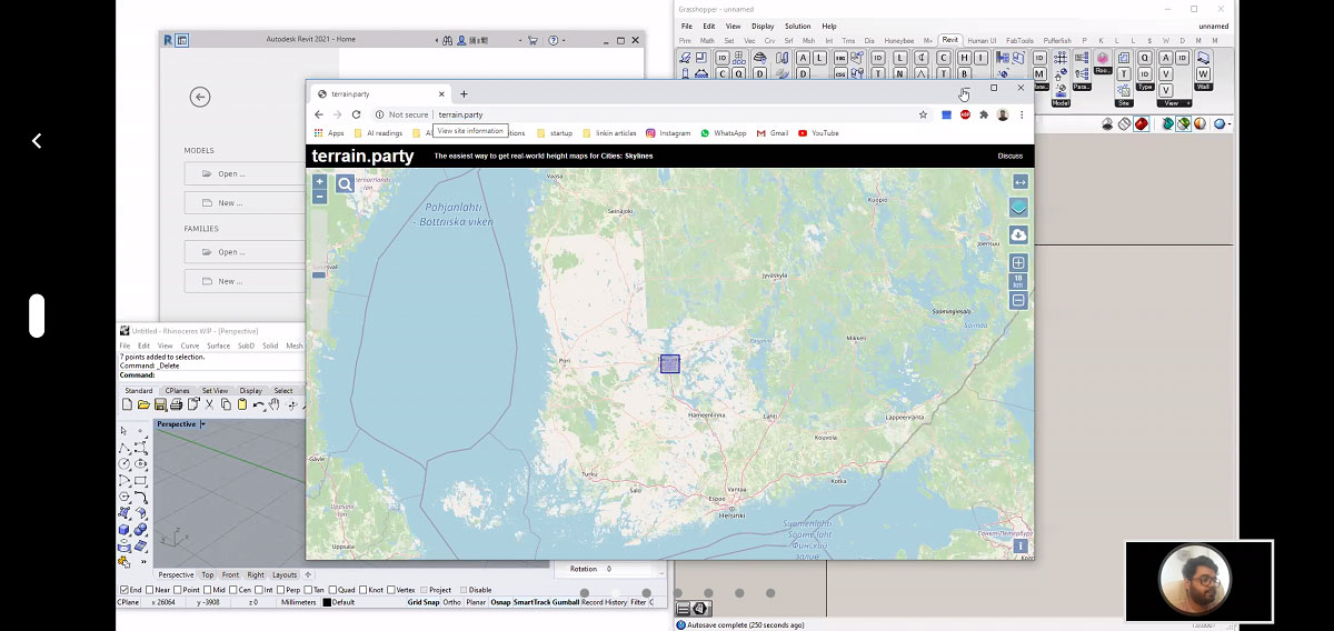
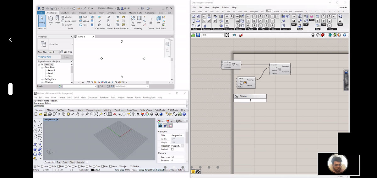
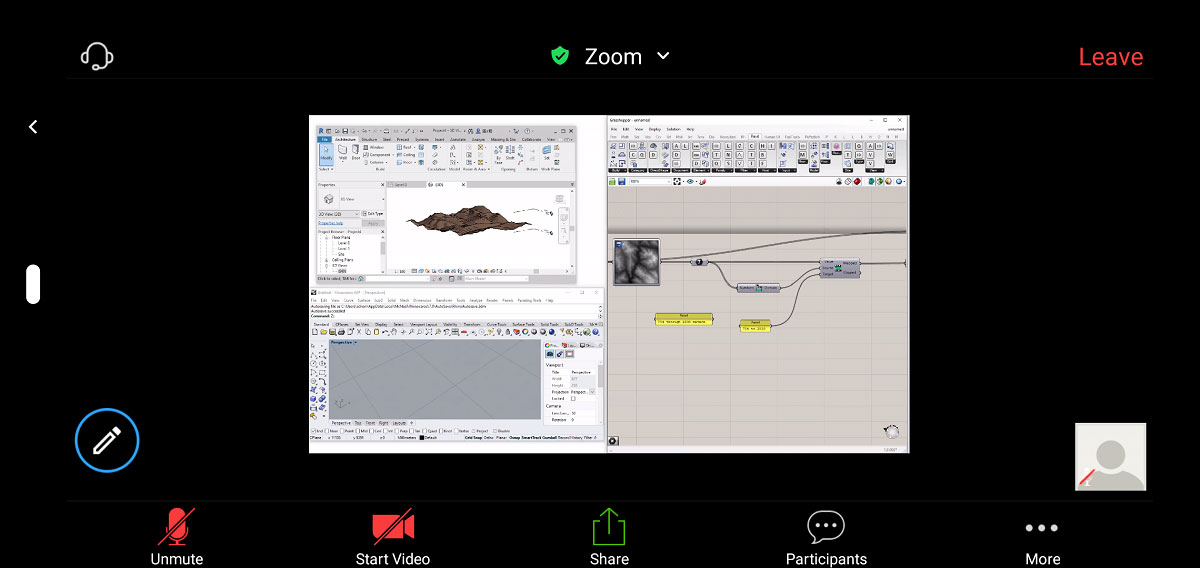
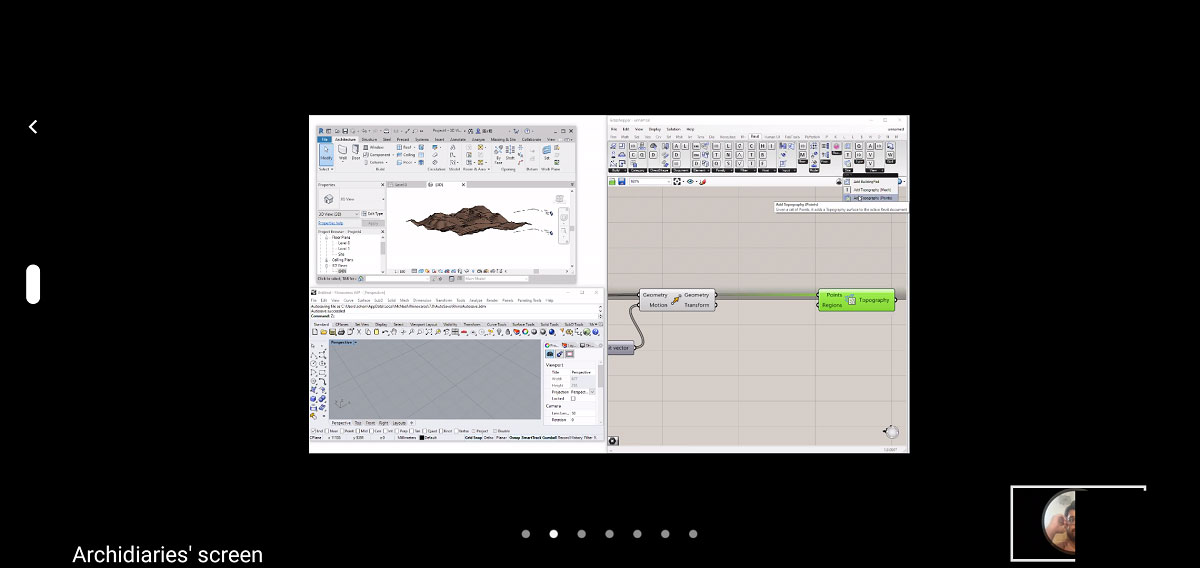
Title: Generating Terrain site model in Revit using Rhino and grasshopper.
Software used: Rhino7, Grasshopper, Revit.
Tools Used: Construct Point, Rectangle, Rectangular array, Image Sampler, Integer, Bounds, Remap Number, Panel, Move, Z Vector, Add Topography (Points).
The exercise was to learn to generate Terrain site model from points using image sampler method in grasshopper and assign it to Revit. For this an array of points were generated in grasshopper and were bounded on the image of the chosen site. The points were remapped and using the Revit component in grasshopper the terrain surface was generated from the remapped points.
Images